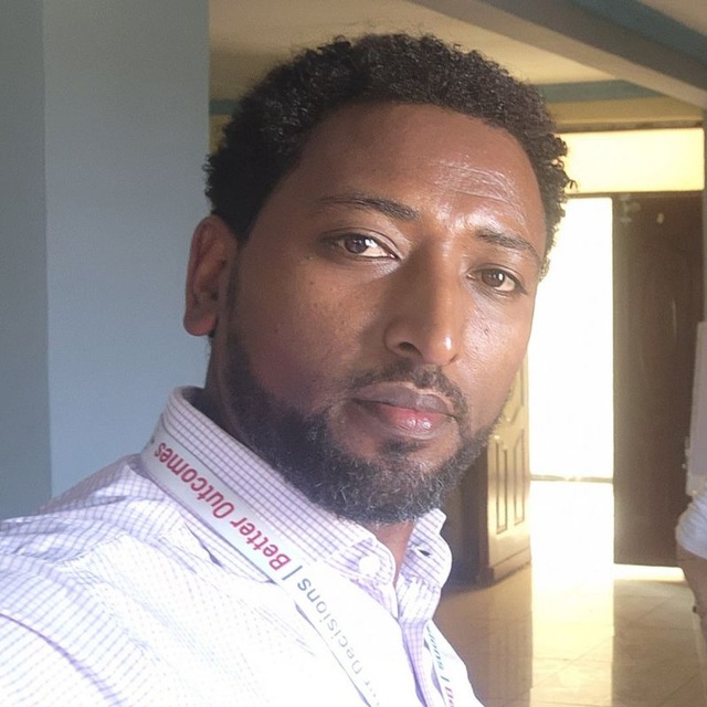
GETINET TAFESE
Getinet is an accomplished GIS professional specializing in Remote Sensing and Spatial Data Analysis. With extensive experience at iMMAP, he excels in designing and implementing GIS solutions to enhance data-driven decision-making and operational efficiency for humanitarian and development projects. His expertise supports addressing complex spatial challenges effectively.
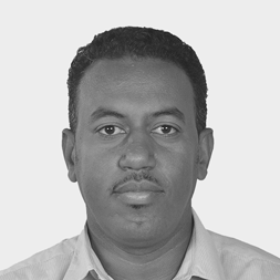
GASHAW BEKELE
Gashaw, co-organizer of the event, is recognized for his 10+ years of experience in information management, and data analytics, producing different infographics that support decision-making and strategic planning processes for GO agencies, NGOs, and UN bodies. He is proficient in utilizing a range of statistical analysis and data visualization tools, including ArcGIS Pro to conduct advanced mapping and spatial analysis to derive valuable insights from complex data sets.


