QGIS


iMMAP

QGIS BASICS COURSE

There are several compelling reasons to choose QGIS over other GIS software packages:

1. It is cost-free. Utilizing the QGIS program comes with no financial burden, as there are no upfront or recurring fees associated with its installation and usage.
2. It is continuously evolving. With the ability for anyone to contribute new features and enhancements, QGIS remains in a state of constant development. This means that the creation of a new tool can be expedited to meet your specific needs.
3. Extensive support and documentation are readily available. Should you encounter any challenges, you can rely on the comprehensive documentation, assistance from fellow QGIS users, or even direct support from the developers.
4. It is compatible across multiple platforms. QGIS can be seamlessly installed on MacOS, Windows, and Linux operating systems.

Now that you know why you want to use QGIS, these exercises will make you know how.

PRE-REQUISITES:

Computer basics skill, Laptop with MS Office installed, QGIS 3.22 LTR which can be downloaded from HERE

EXCERCISE DATA:

You can download excercise data HERE

Course Staff

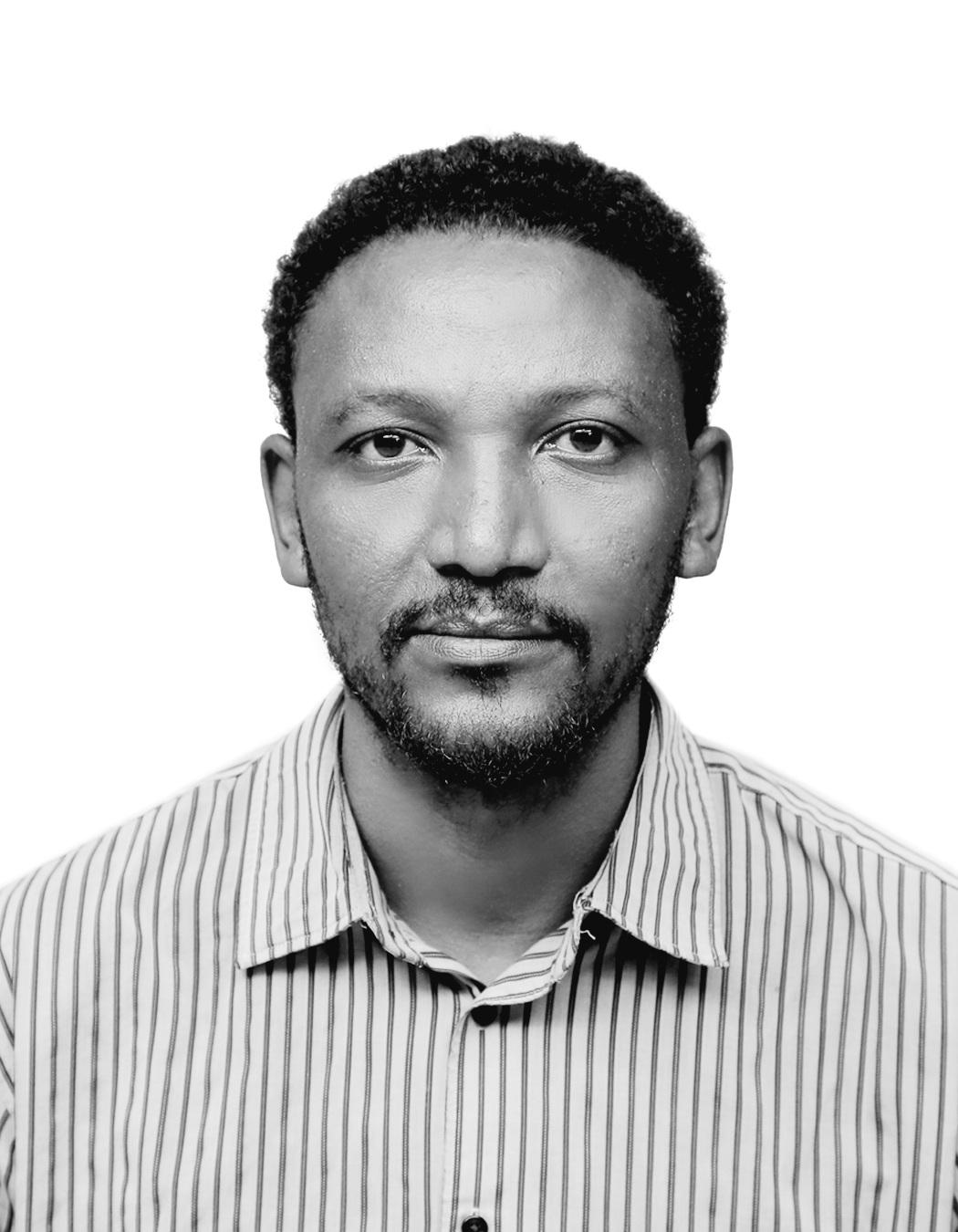
Course Staff Image #1

YOHANNES MULU

Welcome to the course! I’m Mr. Yohannes, a seasoned expert in GIS (Geographic Information Systems) and Remote Sensing with over 15 years of experience in the field. My career has been dedicated to harnessing the power of geospatial technology to make a positive impact in various sectors.

I bring a wealth of practical experience from working in diverse environments, including the development sector, humanitarian efforts, and educational initiatives. My journey in GIS and Remote Sensing has not only deepened my technical expertise but also enriched my understanding of information management and capacity building.

Throughout my career, I have had the privilege of contributing to significant projects that address real-world challenges. My work has involved designing and implementing innovative solutions to support sustainable development, improve humanitarian responses, and advance educational goals through geospatial analysis.

In this course, I’m excited to share my knowledge and insights with you, helping you explore the possibilities within GIS and Remote Sensing. I look forward to guiding you through the principles and applications of these powerful tools and sharing strategies that have been key to my professional growth.

Let’s embark on this learning journey together and discover how geospatial technology can be used to solve complex problems and drive meaningful change.

Course Staff Image #2

DAWIT RETTA

Dawit Retta serves as an Information Management Capacity Building Officer (IMO) at iMMAP Inc. Ethiopia. He is responsible for developing training and session plans (face-to-face, online platform (edX), and webinar), setting goals, and defining objectives for humanitarian capacity-building programs.
With a wealth of experience gained from various positions at organizations like Tulane International Ethiopia, ICAP, MSIE, and educational institutions, Dawit has a solid background in supporting numerous humanitarian and development initiatives, as well as governmental health institutions.
Academically, Dawit holds a Master of Science (MSc.) degree in Health Informatics from Addis Ababa University, along with a Bachelor of Science (BSc.) degree in Computer Science from the same university in Ethiopia.

IF YOU HAVE ANY QUESTIONS ABOUT THIS COURSE, PLEASE EMAIL @ "ytessema@immap.org" OR "dwoldeyohannes@immap.org"

Enroll